The door falls into the lock behind me, rays of sunlight tickle the tip of my nose, a deep breath, a light breeze – at this moment I feel somewhat liberated. Recently, I have been outdoors far too little thanks to Corona and a freshly started master thesis. With a long sigh I try to dispel the oppressive knowledge that the whole summer will be like this.
The bus door opens, I get on. My need to get out regularly and enjoy the environment is also reflected in my biology degree program. Going into the forest has a calming effect – the colours, the smells… Usually, I find a hiking route via the apps Komoot (Android, IOS) or Outdooractive (Android).
However, today I walk a route that I got to know during a botanical excursion: along the Westerberg near Klein Lengden. As an inhabitant of Göttingen you are lucky to be surrounded by great countryside and fantastic forests. Nature offers a lot if you train your perception and pay attention to your environment. Don’t worry! You don’t necessarily need a thick, unwieldy, unillustrated field guide, as it is typical for biologists. Meanwhile, there are some free apps that can help with the identification and may satisfy your curiosity a bit.
As I enter the woods on the path behind the red barrier, I am immediately surrounded by an overwhelming variety of bird calls. Unfortunately, I am not trained in their identification. The small feathered singers are often well hidden in the forest. If you can assign the individual songs to the species, however, this is no longer an anonymous concert. There are special technical identification aids for this. If you are interested in bird identification, it is worth trying the app „Picture Bird: Birds Identifier“ (Android).
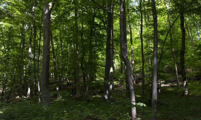
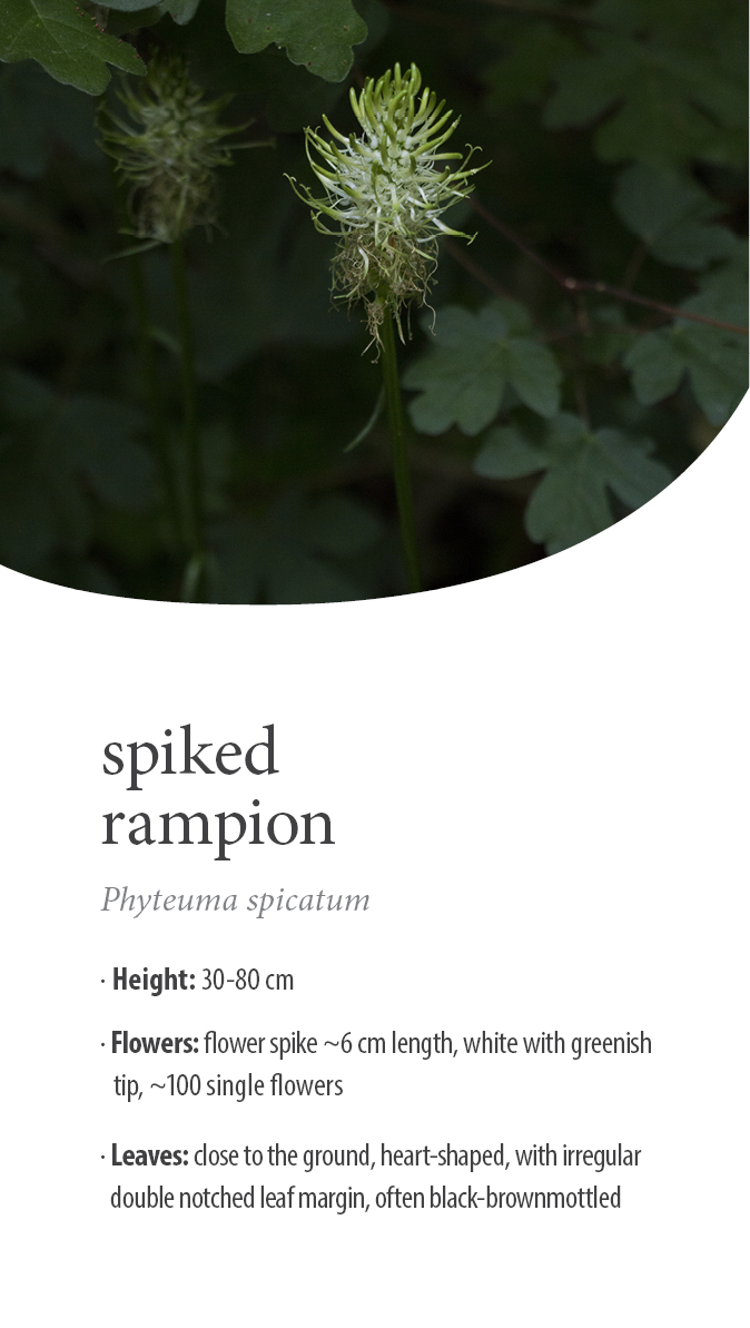
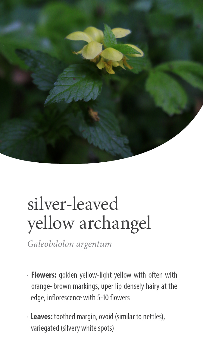
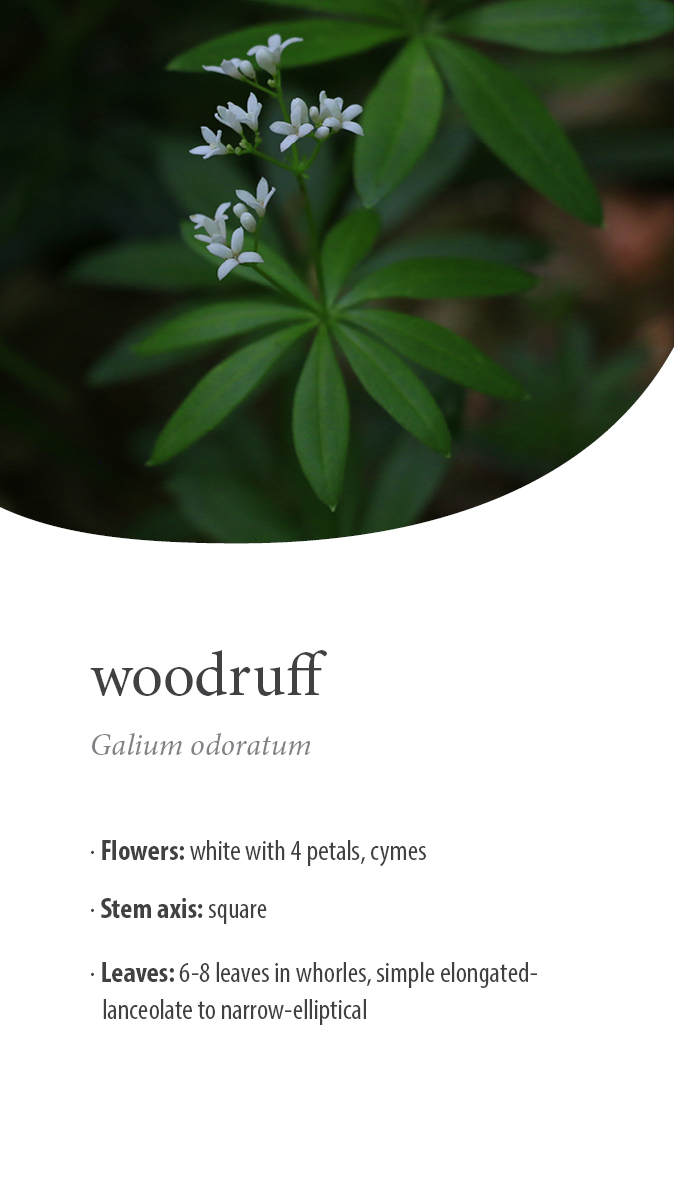
Climbing the hill, I cross a beech forest which is characteristic of the Göttingen area. These are generally mainly woodruff and orchid beech forests. Along the path, catsfoot, silver-leaved yellow archangel and spiked rampion are in bloom. With the automatic picture identification in identification apps such as “Flora Incognita” (Android, IOS), other species can also be easily identified at least roughly. Among my fellow students it is not unusual to use it if they are “normally” on the way, see something, and for once have no book of identification at hand. I personally like to use “iNaturalist” (for plants and animals, Android). The GPS data of the taken photos will be added as mapping to the database of this global public science project. I think it is great to be able to contribute to science in my leisure time as well. However, you can be critical of the results of the apps. Usually, the suggestions go in the right direction, but often species look very similar and can only be distinguished by specific details.
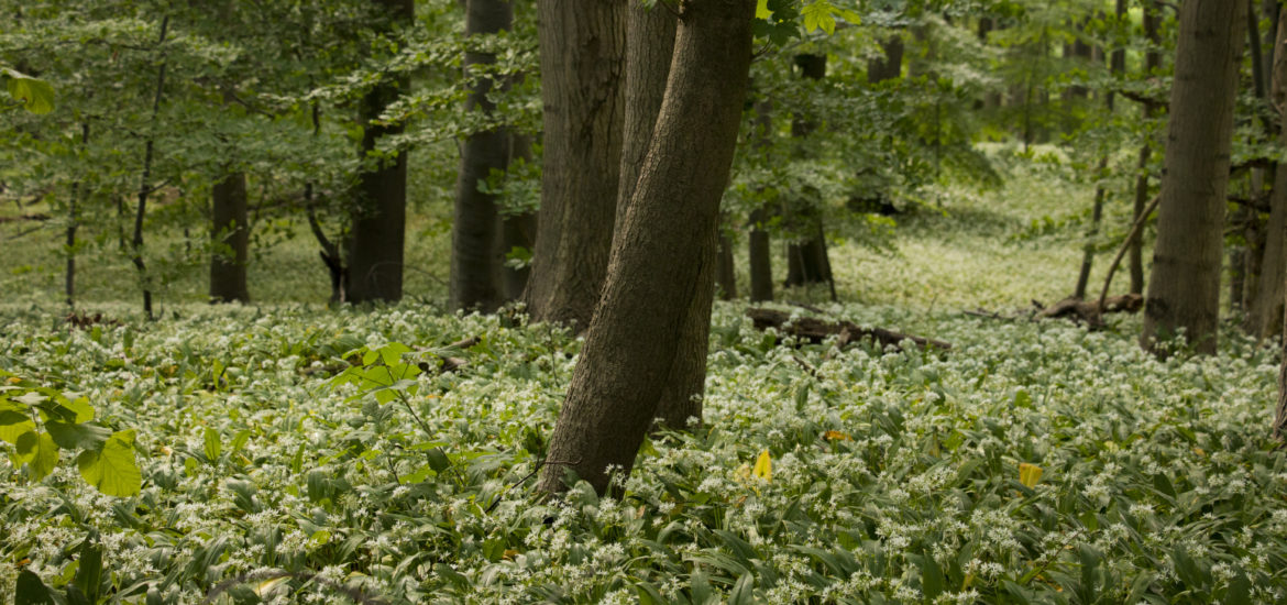
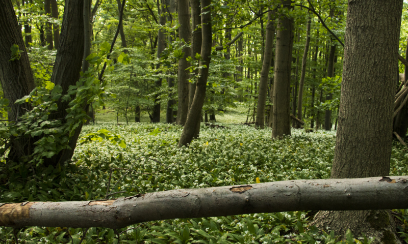
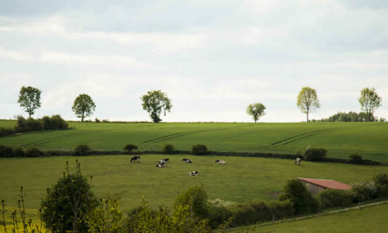
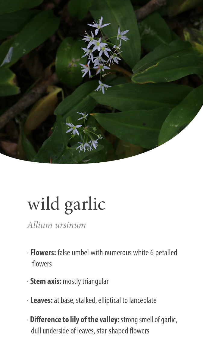
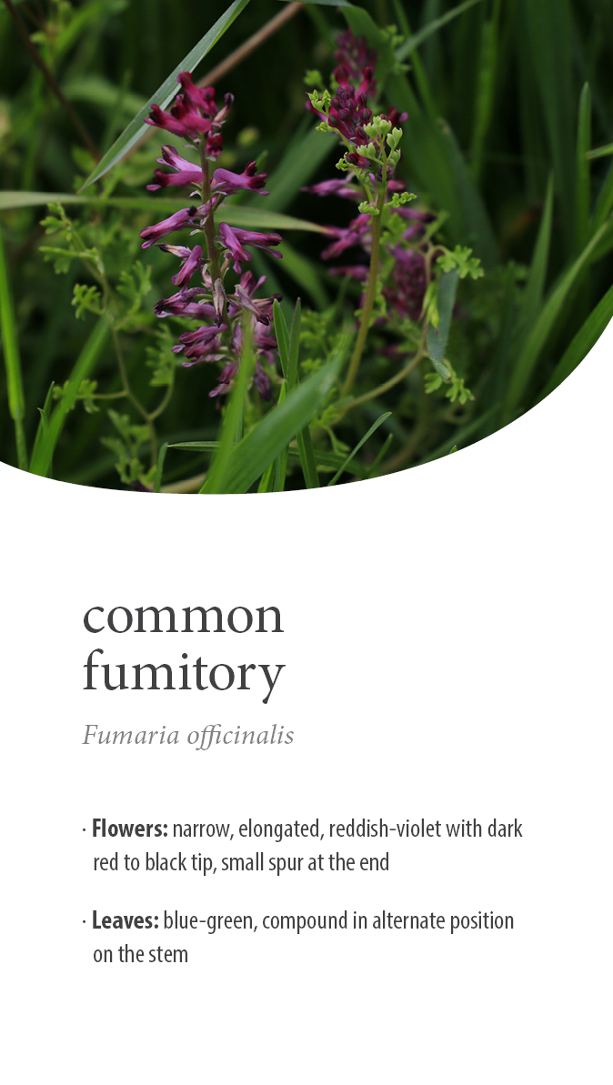
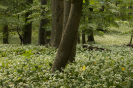
Nevertheless, I promise you that the monotonous green along the way suddenly appears very diverse. Along the ridge of the Westerberg I can guess the dominant species even with my eyes closed. There is an intense smell of garlic – hundreds of wild garlic spread out under my hiking boots. There, I stay for a while and enjoy the play of light that is created by the green canopy of the trees. In order to preserve such sights, it is very important to be careful not to destroy or impair the stands or habitats, e.g. by trampling. After the steep descent on my way back to the bus stop, I walk along yellow flowering fields of rape lined with common fumitory. A nice colourful ending for my micro holiday – a few hours on the Westerberg.
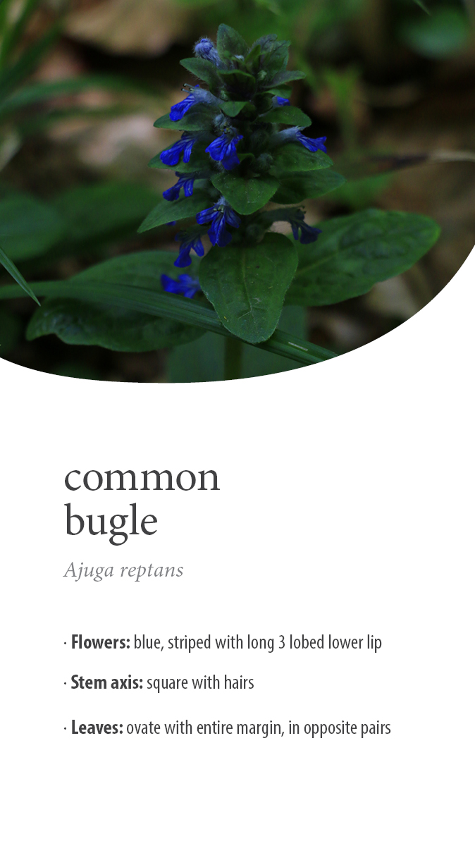
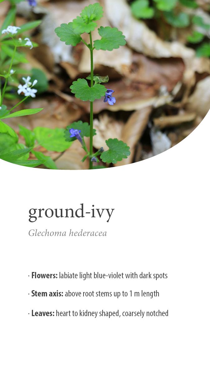
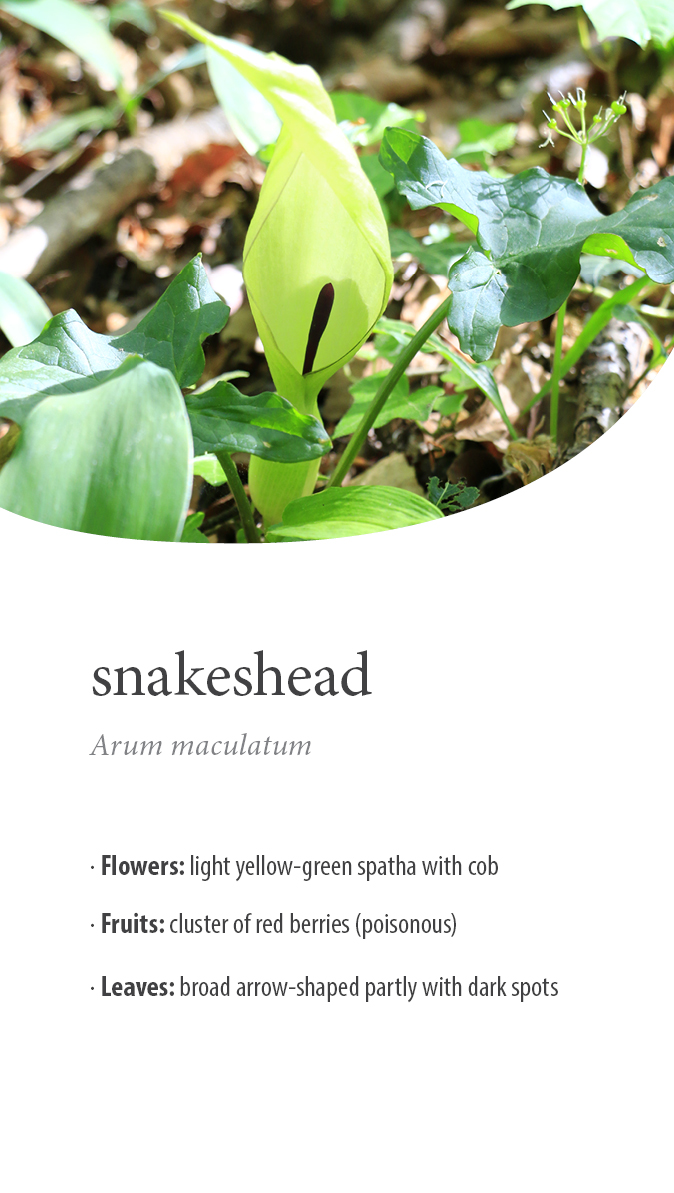
Here are a few species that you can currently find in Göttingen’s surroundings, maybe you have already discovered them:
